Mazeau_Marais_Sauvage

jagarnier
User GUIDE
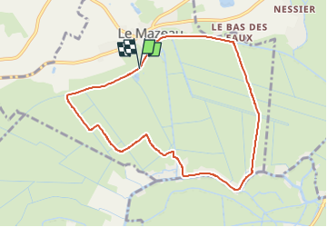

Length
8.6 km

Max alt
10 m

Uphill gradient
47 m
Km-Effort
9.2 km

Min alt
0 m

Downhill gradient
46 m
Boucle
Yes
Creation date :
2024-11-12 07:24:35.732
Updated on :
2024-11-12 08:17:50.186
2h45
Difficulty : Easy

FREE GPS app for hiking
 SityTrail
IGN / Geographical institutes
SityTrail Plus
The world is yours!
About
Trail Walking of 8.6 km to be discovered at Pays de la Loire, Vendée, Le Mazeau. This trail is proposed by jagarnier.
Description
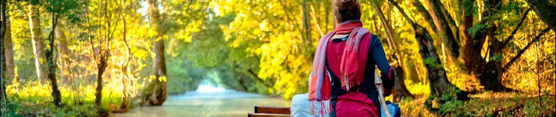
Une balade dans le marais sauvage du Mazeau où sillonnent une multitude de canaux et fossés.
Ici, été comme hiver, la luminosité est toujours aussi belle à travers les plantations de peupliers.
Photos

Positioning
Country:
France
Region :
Pays de la Loire
Department/Province :
Vendée
Municipality :
Le Mazeau
Location:
Unknown
Start:(Dec)
Start:(UTM)
678927 ; 5133456 (30T) N.
Comments